Hiking maps · GPS · Summits
Free hiking maps for all of Norway
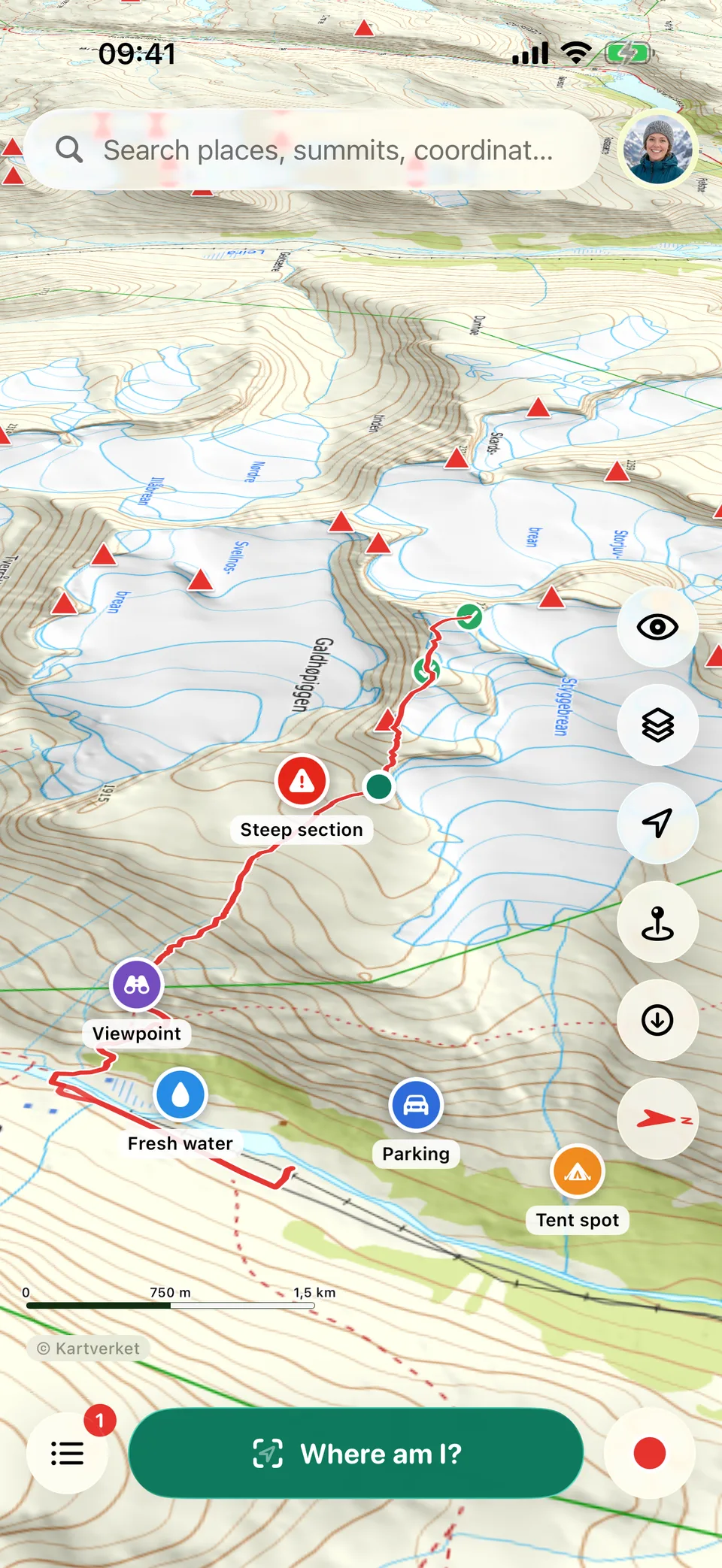
Kartverket's topographic maps in 3D, with trails, ski tracks and over 14,000 summits. Download the area before you go – the map and GPS work without coverage.
- Maps from Kartverket
- Works without coverage
- Free to download
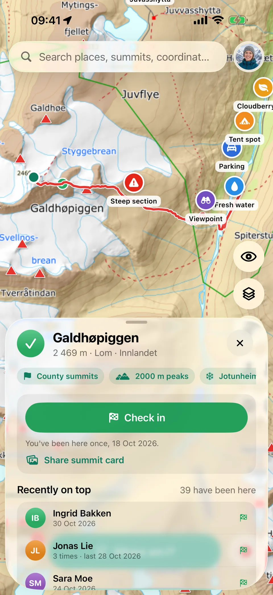
- summits to check in on
- 14,000+
- summits to check in on
- 2000-metre peaks to collect
- 237
- 2000-metre peaks to collect
- county summits
- 15
- county summits
- data sent in incognito
- 0
- data sent in incognito
Safety
Always know where you are
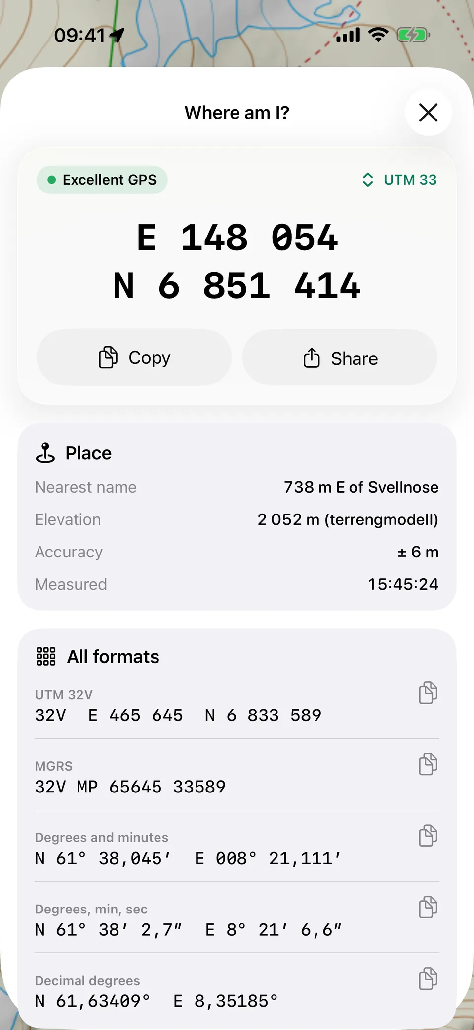
One tap gives you your exact position in UTM, degrees and MGRS, the nearest place name and elevation – ready to read out to 113 or the Joint Rescue Coordination Centre.
- Without coverageYour location is calculated by the phone's GPS, even in Airplane Mode.
- Every format rescuers useUTM, degrees and minutes, decimal degrees and MGRS – copy with one tap.
- Place name and elevationThe nearest name on the map and the elevation where you stand, so it's easy to explain.
In an emergency in Norway: call 113.
Offline
Download maps before you go
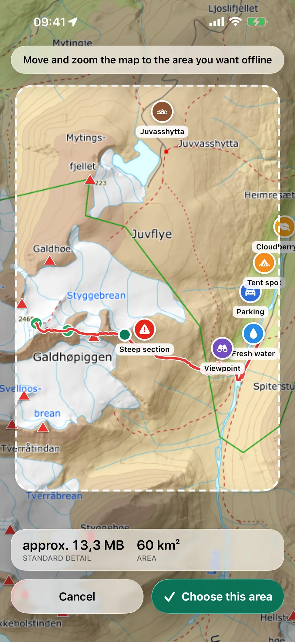
Pick an area on the map and Hvor Kart fetches everything you need. In the mountains, maps, GPS, place names and elevations work fully offline.
- 1Pan and zoom to the area you want
- 2Choose the detail and layers
- 3Head out – no coverage needed
Four base maps
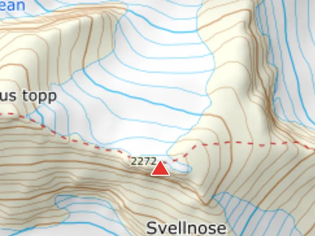
Topographic
Kartverket's colour map with contour lines
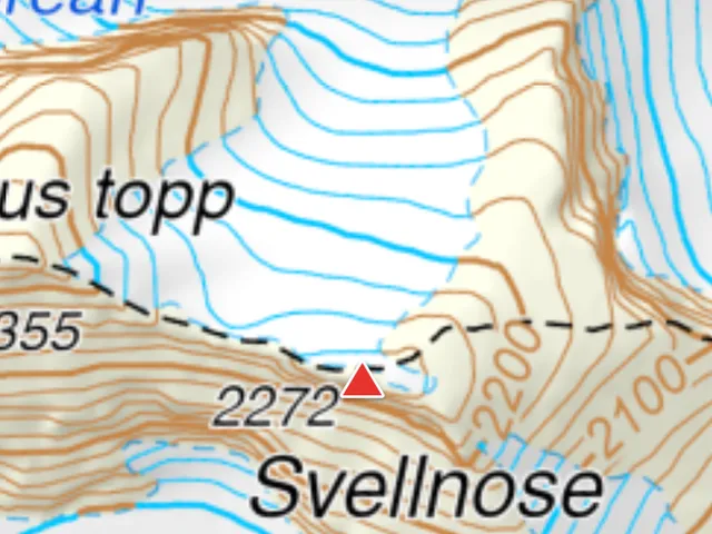
Hiking map
Classic paper map look (Norway 1:50 000)
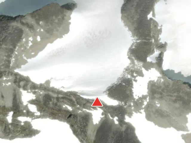
Satellite
Aerial imagery from Apple Maps, online only
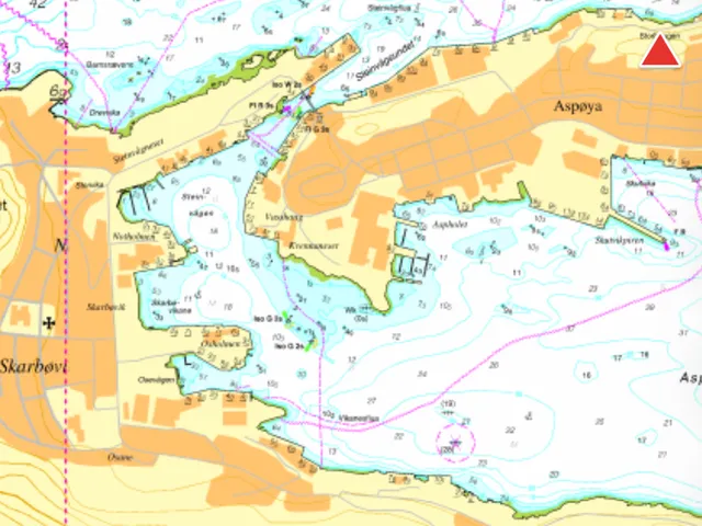
Sea chart
Depths, shoals, lighthouses and marks along the coast
Layers you can turn on
- Marked trails
- Ski tracks
- Cycle routes
- Steepness
- Avalanche zones
- Protected areas
- Property boundaries
- Hillshade
Features
Everything from the trip, in one place
Log your hikes, collect summits and follow your friends – without getting in the way of what matters most: the map.
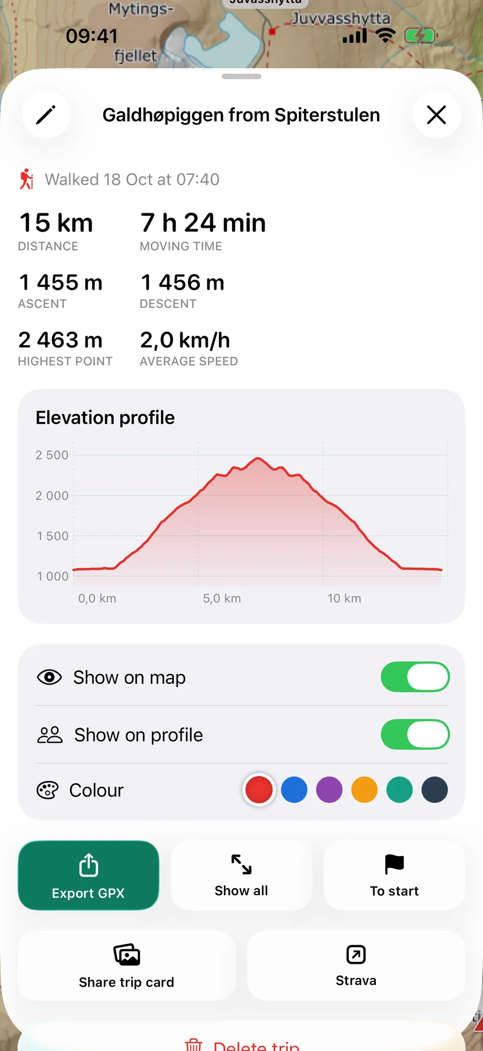
Log your hikes
Distance, ascent and elevation profile for every trip.
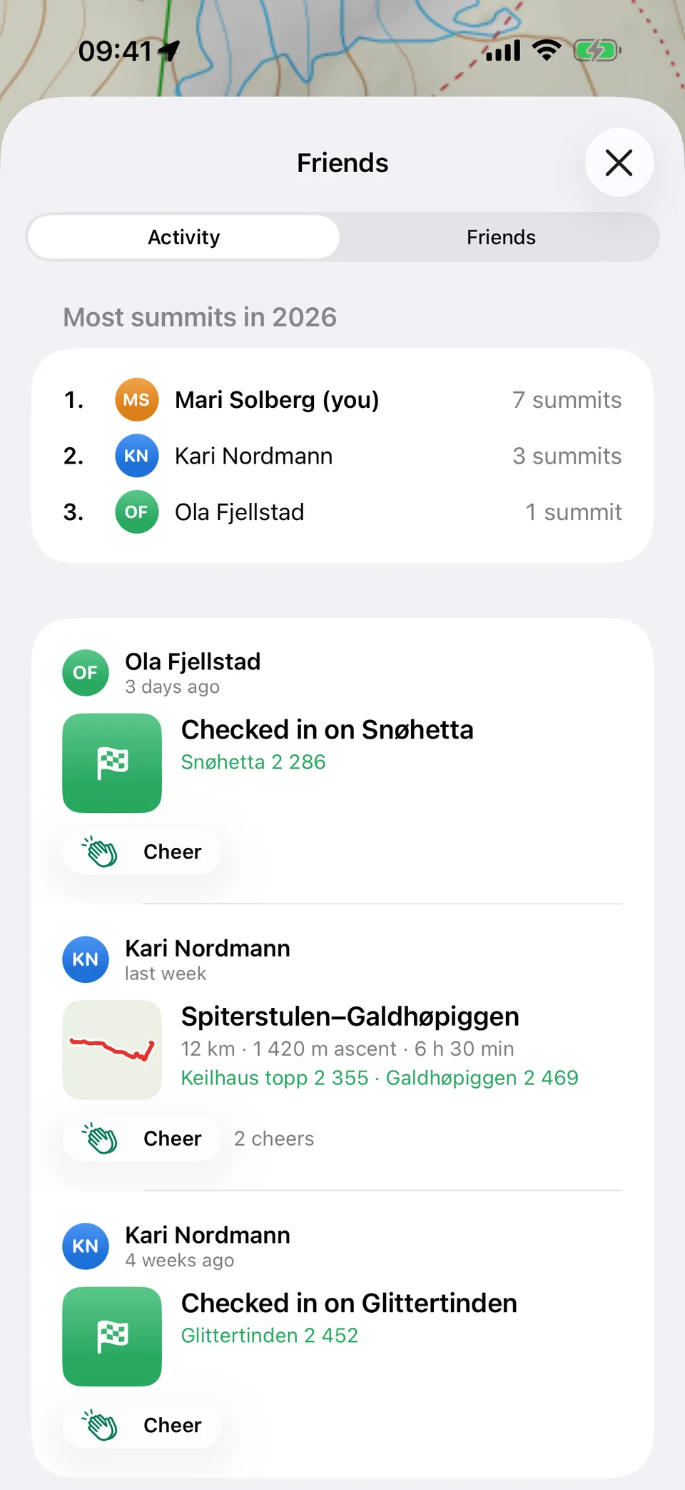
Check in on summits
Collect county summits, 2000-metre peaks and more.
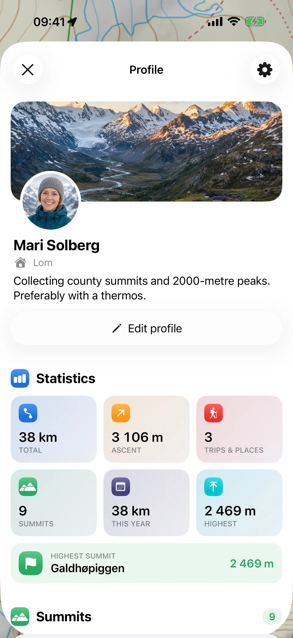
Your hiking profile
Stats, summits and trips in one place.
Hike with friends
Follow your friends' summits and cheer each other on.
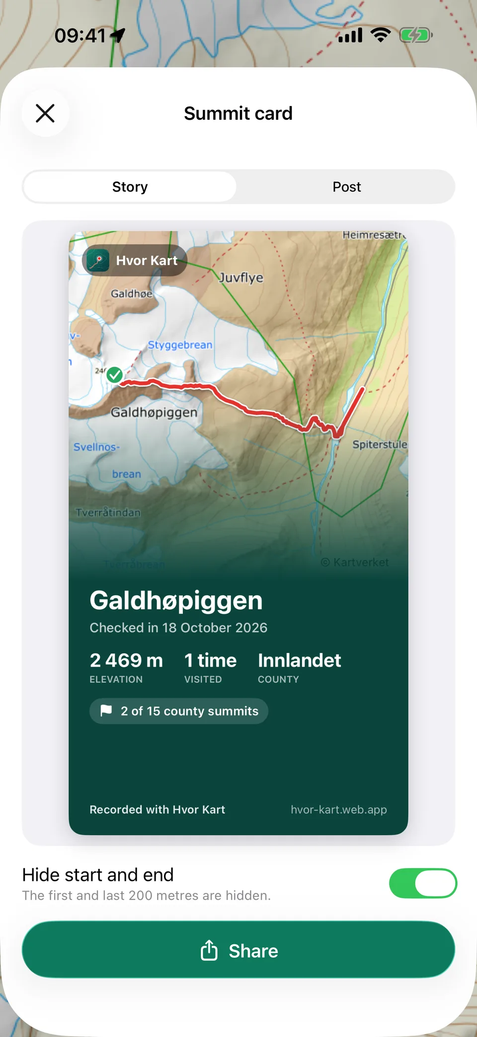
Share your summit
Beautiful summit cards for stories and posts.
Privacy
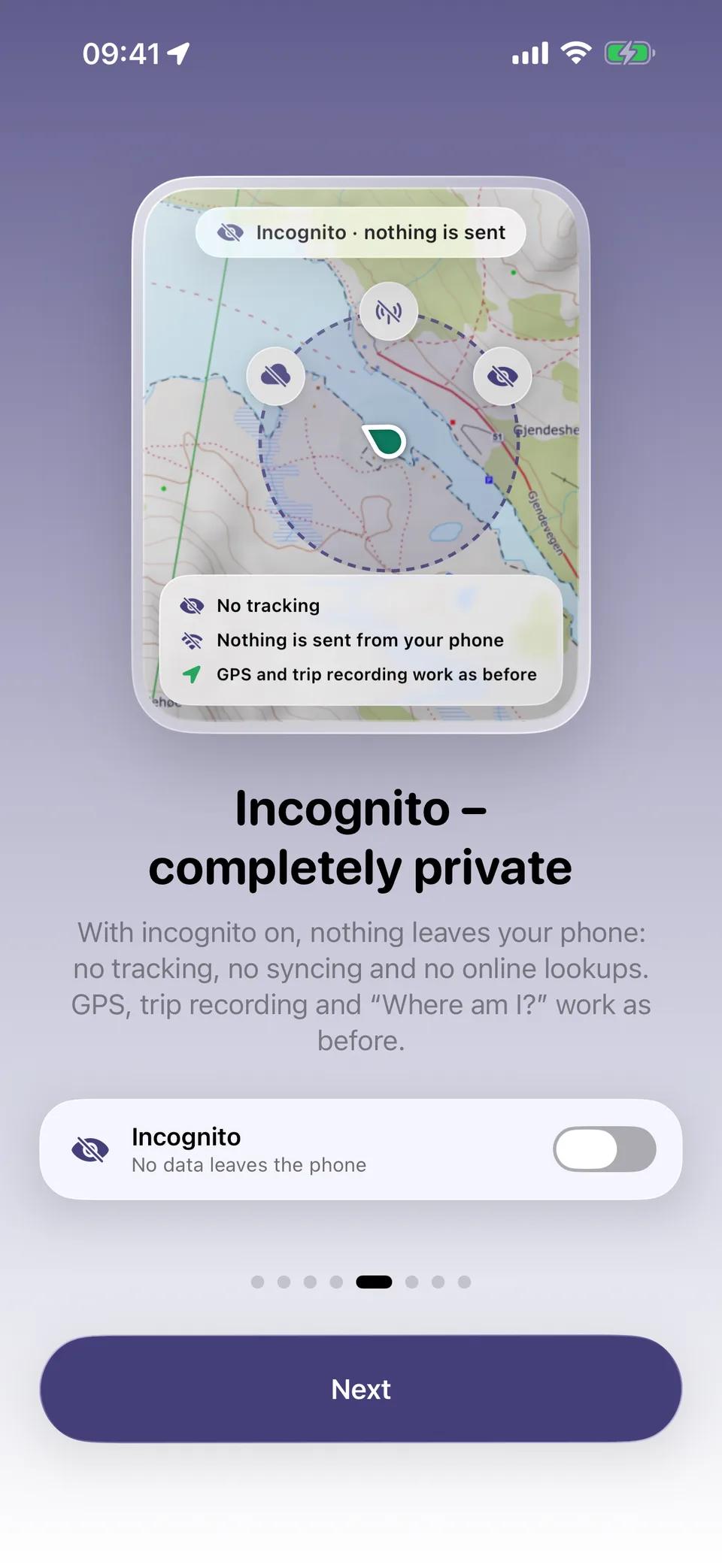
Completely private in incognito
With incognito on, nothing leaves your phone: no tracking, no syncing and no online lookups. GPS, trip recording and “Where am I?” work as before.
- No tracking and no syncing
- The map shows the areas you've downloaded
- Turn it off when you want to share with friends again
Hvor Kart Pro
Free to download – Pro when you want more
The maps, offline downloads, “Where am I?”, trip logging and summits are free. Pro is for when you want even more out of your trips.
Free
- Topographic maps for all of Norway
- Download areas for offline use
- “Where am I?” with coordinates for 113
- Trip logging with elevation profile
- Check-ins on over 14,000 summits
- Friends, summit cards and incognito
- Room for 30 places
Pro adds
- Cloud backupPlaces, trips and summits are stored safely and follow you to new devices.
- Unlimited placesSave all your cabins, fishing spots and campsites.
- Offline maps in the highest detail“Max” shows every trail, stream and contour line, even without coverage.
- More map layersSlope, avalanche terrain, cycle routes and property boundaries, also offline.
- Route planningFind your way along trails and roads, with distance and elevation gain.
- Share on StravaPost the trips you want, with map, time and elevation gain.
Everything you've saved stays yours – even if you stop Pro.

Ready for the trail?
Download Hvor Kart, fetch the map for your area, and go where the coverage doesn't.